
Maps have been our trusty companions for centuries, guiding us through the labyrinth of our world. But what if these maps could do more than just show us the way?
Enter data science, where maps become not just navigational tools but windows into a treasure trove of insights about our space. If you want to explore data science and how it is impacting different facets of technology, continue reading.
Here, we are exploring how data science interprets space, offering us a deeper understanding of our surroundings. Along the way, we’ll also discover how pursuing an online post graduation in data science can open doors to a world of opportunities.
Table of Contents
The Evolution of Maps
Maps have changed a lot from really old ones on paper to the cool ones on our screens now. At first, maps were drawings of places, carefully made by hand. But as things got fancier, maps became more detailed and told stories about the places they showed.
Nowadays, smart people called data scientists use high-tech stuff to gather, study, and show data in a smart way. They turn it into useful info. Whether it’s watching how sickness spreads, checking the weather, or figuring out where to build things in cities, maps become special canvases for these smart data scientists.
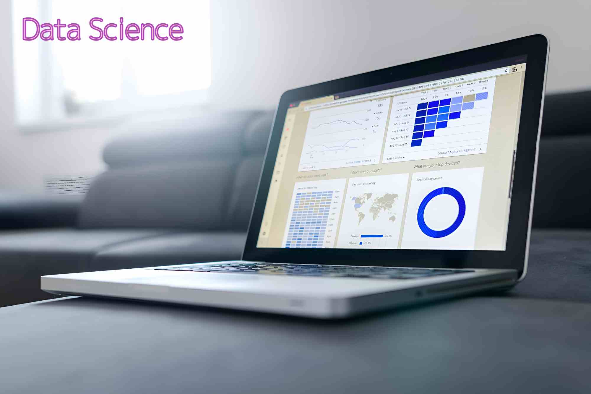
The Integration of Data Science
In the 21st century, data science stepped into the world of cartography, adding a new layer of complexity and understanding. No longer confined to static representations, maps now dynamically capture and analyze a myriad of data points. This integration of data science allows maps to provide insights into various aspects of our surroundings, from demographic patterns to environmental changes.
One notable application is Geographic Information Systems (GIS), a powerful tool that combines spatial data with advanced analytics. GIS enables us to layer diverse information onto maps, unveiling connections and trends that might otherwise go unnoticed. For example, it can showcase the correlation between population density and resource distribution, aiding urban planners in making informed decisions.
Understanding Maps in Data Science
Real-Time Mapping and Navigation
Because of smart data tricks, maps are not stuck in one moment anymore. We can now see and react to things changing right away with maps that move as things happen. The GPS tech, helped by data tricks, helps us find our way super accurately. It looks at live traffic, weather, and even info from people about closed roads or accidents.
This quick, real-time map stuff isn’t just for finding your way. In big problems like natural disasters, these data maps become super important for the heroes who come to help. They can quickly figure out what’s going on, plan the best ways to go, and give help where it’s needed most.
Environmental Monitoring and Conservation
Smart maps, with the help of data science, are doing an important job of keeping an eye on our planet’s health. They use pictures from satellites, facts about the weather, and info about nature to make maps that help scientists take care of the environment. These maps can show where trees are disappearing, follow how animals move around, and check if the sea level is changing. All this info is super useful for people working to protect nature.
Social and Economic Insights
Beyond geography, data science maps delve into the social and economic fabric of our communities. By layering demographic data onto maps, we can visualize disparities in income, education, and healthcare. This aids policymakers in identifying areas that need targeted interventions, ensuring resources are allocated where they are most needed.
Key components of data-driven maps:
Geospatial Data:
Geospatial data forms the backbone of data-driven maps. It includes information related to locations, such as coordinates, elevation, and boundaries. Data scientists use this information to create interactive and informative maps.
Data Visualization Techniques:
To make sense of complex datasets, data scientists employ various visualization techniques. Heat maps, choropleth maps, and 3D representations help in conveying information effectively. These visualizations allow us to grasp patterns, trends, and correlations within the data.
Machine Learning and Predictive Analysis:
Data science goes beyond static maps by incorporating machine learning algorithms. These algorithms predict future trends based on historical data, aiding decision-making processes. For instance, predicting traffic congestion patterns or identifying areas prone to natural disasters.
Unraveling the mysteries of space with Data Science:
Maps infused with data science provide us with a unique lens through which we can explore and understand space. Here are some fascinating applications:
Urban planning:
Data-driven maps assist urban planners in optimizing city layouts, considering factors like traffic flow, population density, and infrastructure development. This ensures sustainable and efficient urban spaces.
Environmental monitoring:
Data science helps monitor and analyze environmental changes. From tracking deforestation to studying climate patterns, maps provide a comprehensive overview, aiding in conservation efforts.
Epidemiological studies:
Especially relevant in today’s context, data science maps are invaluable in tracking the spread of diseases. They help health professionals make informed decisions, allocate resources efficiently, and implement targeted interventions.
Challenges and Ethical Considerations
While the marriage of maps and data science opens new frontiers, it also raises ethical questions. Issues of privacy, data ownership, and potential misuse must be addressed. Striking a balance between technological innovation and safeguarding individual rights is crucial to ensuring the responsible development of these powerful tools.
How a post-graduation in Data Science can elevate your understanding
Enrolling in data science courses can really boost your career. In this program, you learn how to understand and use lots of data. You get good at looking at information and figuring out what it means. Especially if you’re interested in maps and space, this program helps you use data science to explore and understand these cool things. It’s like solving puzzles about space!
In the end, data science and maps working together have changed how we see and know the world. Now, maps are not just pictures but smart tools. They help with things like finding your way in real time and watching over the environment. This mix of data science and maps is powerful, but we also need to be careful about how we use it. We want to make sure it helps everyone.
These smart maps help with city planning, taking care of nature, and other important things. If you’re interested in this cool field, learning more about data science through an online post-graduation program could open up exciting opportunities for you.
Please explore our site for more exciting content if you like this article.